ASCE 7 and the local amendments in the Kansas City metro demand rigorous ground improvement when loose alluvial deposits are encountered. The Missouri River floodplain, which shapes much of the industrial corridor from North Kansas City to the West Bottoms, contains deep layers of poorly graded sands that are susceptible to collapse and liquefaction. Vibrocompaction design here is not a one-size-fits-all procedure. We correlate CPT tip resistance and SPT N-values from ASTM D1586 borings to define the target relative density, typically above 70 percent, that the structural design requires. For sites near the Kansas River bluffs, our CPT testing provides a continuous profile that identifies the critical zones where vibroflot spacing must be tightened. The design output specifies probe type, grid pattern, and amperage parameters calibrated to the subsurface profile of each specific lot.
Targeting relative density above 70 percent in Missouri River sands reduces post-construction settlement to less than half an inch.
Our approach and scope
Local considerations
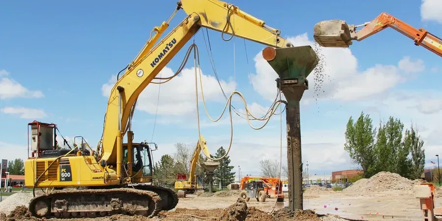
The vibroflot is a depth vibrator that densifies granular soils through horizontal vibrations transmitted from a probe, typically 12 to 18 inches in diameter. Water jets at the tip fluidize the sand temporarily so the probe can sink under its own weight to the design depth. In Kansas City, we use electric-powered units because the dense urban environment of downtown and the Crossroads Arts District imposes strict noise ordinances that make diesel-hydraulic rigs impractical. The biggest risk in vibrocompaction design is underestimating the fines content. If the sand contains more than 15 percent silt, the vibration energy dissipates into pore pressure buildup without densifying the soil matrix. We address this by running grain-size analyses on every boring sample before finalizing the grid spacing. A poorly designed pattern in silty sand produces a false-positive improvement, where the ground surface settles but the deep layers remain loose.
Relevant standards
ASCE 7-22 Minimum Design Loads and Associated Criteria for Buildings and Other Structures, IBC 2021 Chapter 18 Soils and Foundations, ASTM D1586 Standard Test Method for Standard Penetration Test (SPT), ASTM D2487 Standard Practice for Classification of Soils for Engineering Purposes
Associated technical services
Vibrocompaction Trial Program Design
We design the test section layout and define acceptance criteria for the trial program. The specification includes probe type, grid spacing, step duration, and verification testing frequency. We supervise the field trial and adjust the production parameters based on measured results.
Production Monitoring and QA/QC
During full-scale production, we monitor amperage logs, probe penetration rate, and backfill consumption if bottom-feed is used. Post-compaction SPT borings at the centroid of each compaction cell verify that the target N-value has been achieved across the entire treatment depth.
Typical parameters
Quick answers
What does vibrocompaction design cost for a typical Kansas City site?
Design fees for a standard commercial or industrial site in Kansas City range from US$1,570 to US$5,780, depending on the treated area and the number of borings required for pre- and post-treatment verification. The fee covers the geotechnical investigation planning, vibrocompaction specification preparation, and field QA/QC supervision.
How deep can vibrocompaction treat the loose sands we find in the Missouri River bottoms?
Standard electric vibroflots can densify sands to depths of 60 to 100 feet depending on the probe size and power. In the alluvial deposits along the Missouri River, we typically treat zones down to 40 or 50 feet, which covers the critical bearing stratum for most shallow and deep foundation systems. Deeper treatment requires a bottom-feed vibroflot that can add gravel backfill to maintain hole stability during extraction.
What soil conditions make vibrocompaction unsuitable?
Vibrocompaction works exclusively in cohesionless soils with fines content below 15 percent. If the sand contains more silt or clay lenses, the vibration energy does not propagate effectively and the soil does not densify. Sites with high groundwater and organic layers also present problems. We always run a full grain-size analysis before recommending vibrocompaction as the ground improvement method.